Buying a house in Christchurch
Links to the council’s flood, zoning and rates maps, for any address.
Every link goes to the official Christchurch City Council or Canterbury regional council site.
Links checked weekly
1Check the hazard maps
- Flood MapFlood hazard map (city council)gis.ccc.govt.nz(opens in a new tab)
- Liquefaction MapLiquefaction map (city council)apps.canterburymaps.govt.nz(opens in a new tab)
- Port Hills Slope HazardsSlope and landslide map (city council)cccmap.ccc.govt.nz(opens in a new tab)
- ECan Land Use RegisterContaminated land register (regional council)llur.ecan.govt.nz(opens in a new tab)
- Canterbury Flood ModelFlood modelling (regional council)apps.canterburymaps.govt.nz(opens in a new tab)
2Check the zoning and planning
3Look up the rates and records
Looking at 20 houses? That’s 180 trips to council sites, typing the address every time.
In Perched they’re all on each house, one tap away, with the address ready to paste. Screenshots and notes are kept with the house.
Get started freeFree for five houses at a time. No card needed.
And anywhere in New Zealand
Tools that work for any address.
Look at the house and street from above
Check the neighbourhood
Compare the listings and value estimates
Check the national hazard maps
Buying with a partner or family?
Add notes and screenshots of what you find, and everyone you share the house with sees them. Example: a house in Christchurch, shared with family.
Get started freeExample: a house in Christchurch, shared with family.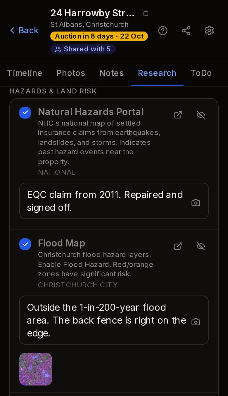
Free for five houses at a time. No card needed.
Perched isn’t part of any council. The information lives on their sites, so check it with them, and with your lawyer before you buy.